
Are you ready to explore?
Wind your way through our region, over rolling hills to Lockhart. Follow the river red gum-lined banks of the ‘Bidgee to Narrandera and Darlington Point. Weave through the canals of the Murrumbidgee Irrigation Area to Leeton, and head south across the Yanco and Billabong creeks as you make your way to Jerilderie.
You’ll stumble upon towns, villages and localities with names you’ve only heard of in songs and stories. You’ll discover the art out here is oversized, and our history is filled with quirky characters, unique stories and bucketloads of charm.
You’ll see we’re not just the filler on the map between the desert and Great Dividing Range, we’re a destination in our own right, and we’re ready to explore.
A day or two simply won’t be enough once you see what we’ve got to show you. Best take it slow, friends, with the Murrumbidgee Trails as your guide.


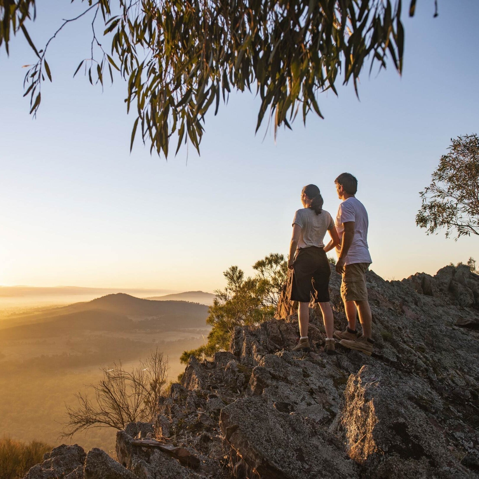

Image credit: Destination NSW

Getting here
You’ll find us on the Murrumbidgee River in the south of the great state of New South Wales, west of the Great Dividing Range. If you hit the outback? Well, you’ve gone too far.
On the Newell, we’re a few hours’ drive south of the ‘The Dish’ and the Great Western Plains. We’re north of the border – the Victorian one, we mean – but you can cross the Murray anywhere you like between Tocumwal (see if you can spot the Big Murray Cod on your way through) and the twin cities of Albury Wodonga to the east.

